
US State Parks and Forests Map
Screenshots

Description
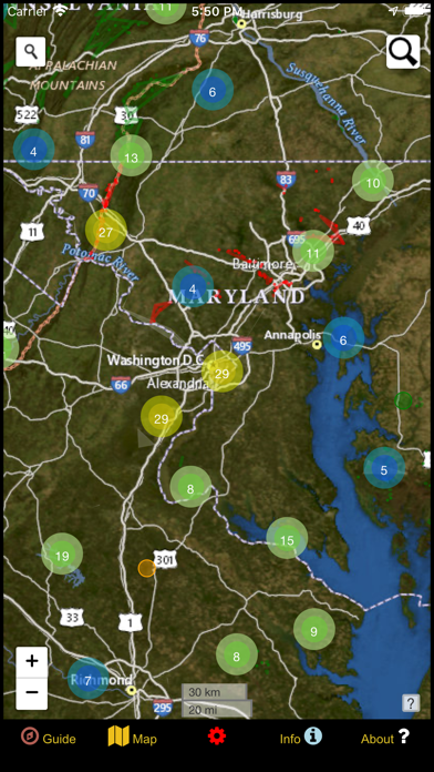
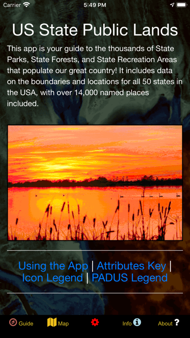
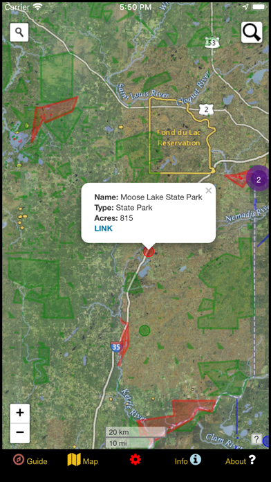
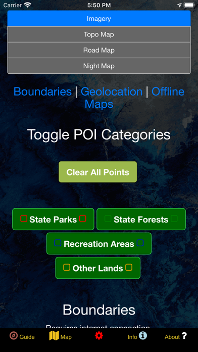
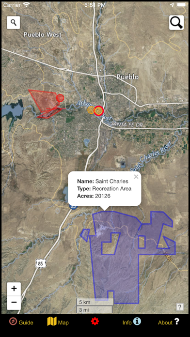
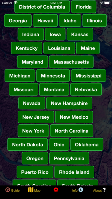
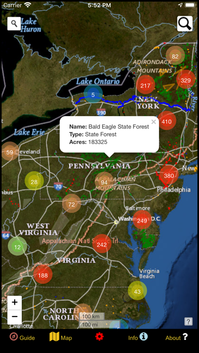
The United States of America is a vast land full of lush forests, stunning deserts, indescribable landscapes, and fascinating history. You may already know some of the iconic landmarks and wildernesses that the US has to offer, but did you know that there are tens of thousands of public parks, forests, and recreational areas owned by States across the US? This app is your guide to discovering the unspeakable beauty and recreational potential that is contained within these fabled domains! Whether you are a seasoned forest wanderer or are just wanting to learn a little more about the amazing places surrounding your home turf, this app is for you! The data is up to date as of Winter of 2021 and contains nearly 15,000 recreational properties on state-owned land. These points are symbolized with several color-coded polygons that differentiate between the features. Categories include State Parks, State Forests, State Recreational Areas, State Historical Areas and other State Lands! Once using the app, there are five screens. The Guide screen will provide data legends as well as helpful tips for optimizing your navigational experience. On the Info screen, you will find a number of spatial links to the different states and properties. This is a great way to quickly locate specific places and discover new places to explore! The About screen provides links to all of the open-source resources used in the app and gives a little information about the developer GeoPOI. The Map Settings screen is where you can change between one of four different basemaps, download offline imagery, turn on geolocation, and toggle specific categories. Finally, the Map screen is where it all comes together! On the Map screen, there are a series of circle clusters at distant zooms that indicate how many points are within a given cluster. As you tap the clusters to zoom in, individual properties become visible. These features can be clicked on to reveal the name, area, and other useful information. The map screen also has two search tools - the left one can be used to look up addresses and towns, while the right one will allow you to query the names of the features in the database. There is such a wealth of beauty out there waiting to be discovered. Never before has it been this easy to navigate our public lands as you travel, no matter where in the United States you are or what kinds of places you are interested in visiting. It's time to experience the rich natural and cultural tapestry of our nation and pay homage to the places that make our country the great land that it is. Come navigate the US State lands with GeoPOI today!
Details
- Developer
- GeoPOI LLC
- Main Category
- Navigation
- Version
- 1.0.0
- Version Release
- 2021-01-23
- Initial Release
- 2021-01-23
- Size
- 79 MB
- Age Rating
- 4+
- Price
- USD 2.99
- Languages
- EN
- Bundle ID
- com.geopoi.stprk
- Version Rating
- ★ 3.00 (2)
- First Seen
- 2026-07-04
Metadata updated 2026-07-08
Rank History
Free · Max 90 days · Top 5 categories shown (Y-axis: rank, lower is better)
No rank history data
Free Rankings
No rankings
Paid Rankings
No rankings