스크린샷


설명
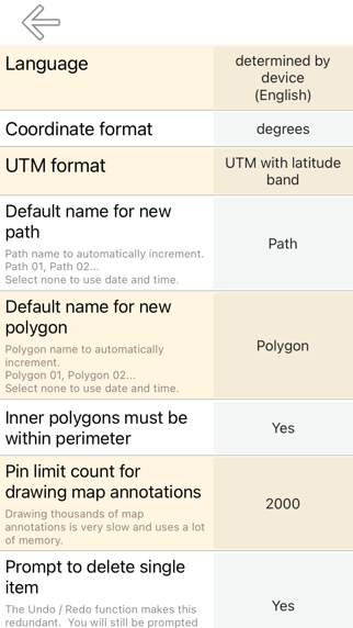
Measure land, roads, parks, countries, lakes, etc from a satellite view. Calculates distances, areas, and perimeters. Features that this application offers that most competitors do not: - Add custom distance and area units. - Draw interior polygons. For example, land area with bodies of water removed. - Add a point to the middle of a path (Most only allow you to add to the end of the path) Tap to add to the end of a path. Long press to add to the middle of a path. - Swap two points in a path or polygon. - Add your current location from GPS receiver. Features: - 3 map layer options - Export and import .kml files via Dropbox, iCloud, email, etc - Pins are draggable and manually editable - Name, notes, and color fields for each path and polygon - Email or text message path and polygon data - 4 verbosity modes. See only the information that you want to see - Search by postal code, city, address, etc - Get addresses near point on map 4 drawing modes: - Path - Polygon - Polygon with hollow spaces inside - No edit mode (to prevent accidental edits) Values displayed for paths: - Total distance - Incremental distance for each waypoint Values displayed for polygons: - Area - Perimeter - Distance for each side Add points to a path or polygon in 1 of 4 ways: - Tap on the map - Use current location - Enter coordinates manually - Import .kml file Default distance units include: - Meter - Foot - Yard - Kilometer - Mile - Nautical mile Default area units include: - Square meter - Square foot - Square yard - Square kilometer - Square mile - Square nautical mile - Square acre - Square hectare Coordinate formats: - Degrees - Degrees, minutes - Degrees, minutes, seconds - UTM / UPS (Universal Transverse Mercator) / (Universal Polar Stereographic) - MGRS (Military Grid Reference System)
새로운 소식
- Better support for newer devices and operating systems. - Improved support for landscape and splitscreen. - Minor bug fixes and UI adjustments.
상세 정보
- 개발사
- TappiApps
- 주 카테고리
- Productivity
- 현재 버전
- 2.7
- 버전 출시일
- 2025-12-02
- 최초 출시일
- 2015-08-04
- 용량
- 6 MB
- 연령 등급
- 4+
- 가격
- USD 7.99
- 언어
- AR, BG, CS, DA, NL, EN 외 31
- 번들 ID
- ta.areaMeasurePro
- 현재 버전 평점
- ★ 0.00 (0)
- 첫 수집
- 2026-05-28
메타데이터 갱신 2026-06-22
순위 히스토리
무료 기준 · 최대 90일 · 상위 5개 카테고리 표시 (Y축: 순위, 낮을수록 상위)
순위 히스토리 데이터가 없습니다
무료 순위
순위 없음
유료 순위
순위 없음