

스크린샷
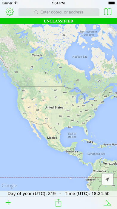
설명
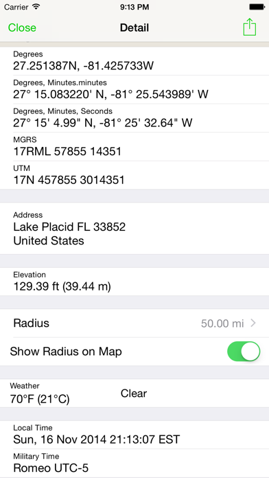
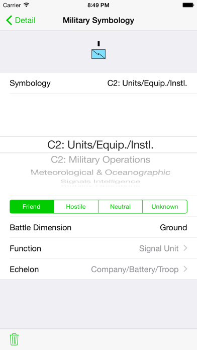
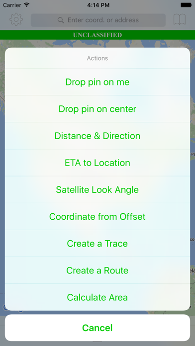
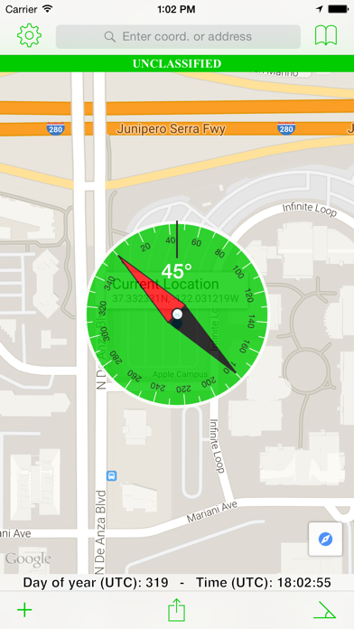
Tactical Navigator (“TacNav”) is a mobile application tool for communications, operations, and outdoor planning--perfect for any military or outdoor enthusiast! Whether you want to save a training location or your best fishing spot, this app is for you. Tactical Navigator comes with the following features: Basic App Features • Compass • Day of Year & UTC Time always visible • Add many locations to the map at the same time • Coordinate systems: Degrees, DM.m, DMS, MGRS, and UTM • Search by address or any coordinate format • Elevation • Current weather conditions and temperature • Local and Military time • Choice of Metric or Imperial measurement values Enhanced Map Actions • Distance & Direction • ETA to a location • Calculate a Satellite Look Angle • Calculate an offset coordinate given distance & direction • Trace a path • Routes (great for land navigation) • Calculate Area • Add a radius around a location Other Great Features • Use MIL-STD-2525C symbology to change your location's icon • Save notes to your saved locations • Open Turn-by-Turn apps for driving directions with 3rd party apps (Apple Maps, Google Maps™, and Waze) • Universal application for use on iPhone or iPad • iCloud integration to sync across your devices and auto-backup your data • Angle of Device (ex. to assist positioning a ground satellite) • Share your data with other TacNav users via encrypted AirDrop™ or email • Export your data to KML Thank you for your support and using TacNav. US Army LTC Kevin Militello - Owner & Developer Disclaimers: • Continued use of GPS running in the background can dramatically decrease battery life • TacNav is not endorsed by any government agency
새로운 소식
Ready for iOS 16!
상세 정보
- 개발사
- Orange Clover LLC
- 주 카테고리
- Navigation
- 현재 버전
- 2.6.2
- 버전 출시일
- 2022-09-11
- 최초 출시일
- 2010-07-01
- 용량
- 81 MB
- 연령 등급
- 4+
- 가격
- USD 4.99
- 언어
- EN
- 번들 ID
- com.kmil.tacnav
- 현재 버전 평점
- ★ 3.67 (9)
- 첫 수집
- 2026-06-06
메타데이터 갱신 2026-07-19
순위 히스토리
무료 기준 · 최대 90일 · 상위 5개 카테고리 표시 (Y축: 순위, 낮을수록 상위)
순위 히스토리 데이터가 없습니다
무료 순위
순위 없음
유료 순위
순위 없음
유저 리뷰
I’ve been using this app for 10 years and now the elevation won’t update! Tried it in 2 different phones.
I’ve used this application for at least 7 years, it has been great but I believe it’s reached a critical static point. For years I recommended this application to cohorts and friends alike but I’ve ceased doing so for the following reasons. In my opinion, it would be a 5 star app I would again recommend to others if it had these items. -Ability to download maps offline and store locally. -Custom layover with geometric shapes and labeling. -CarPlay Support. These are two huge markets where this application lacks and I have to recommend ATAK or it’s civilian variant to others. I use ATAK currently however prior to that I used APASS and this application very frequently. But they fallen behind the power curve of relevancy.
Well worth the money!!!
I’ve been using this app weekly since it first came out and it’s still best in class after all this time! I definitely recommend this app for anyone needing to plot points with MGRS coordinates and elevation data. The only thing I find lacking is the ability to draw custom line/polygon overlays on top of the map to delineate airspace or other area boundaries (something similar to the routes feature, but with the waypoint markers hidden and locked so they can’t be accidentally moved). Please keep up the great work!
The only app to use if you need to convert to MGRS.
Very good app but I just recently downloaded it and it works as advertised. Curious if the devs are still keeping up with this app or is it going the way of the dodo when it comes to updates?
I am a professional skydiver, and former military man. Using this app makes my job so much easier. I can place pins where I am taking off from and where I am landing at. Comparing elevation offsets and doing real time distance and direction can at times literally be a life saver. The different unit values and display functions would really come in handy for anyone trying to compare lat/longs to the MGRS system. This is the first review I've written for an app. Good job guys.
I've used this app since its introduction. It has been extremely useful in the field. "Unclassified bar" seems like a waste of screen real estate, but it's forgivable for an otherwise excellent tool. Keep up the improvements. It would be useful to have waypoint route calculations based on a programmable/custom rate of progress -- handy for planning purposes. You could also add in rough calculations for foot, vehicular-ground, helo, air, and sea/amphib that take into account any available environmental data.
As a member of our armed forces, the ability to quickly plot and determine direction and distance is important. Since the update, I am unable to manipulate the waypoints to enter a grid. This was the most useful feature in previous versions. Please provide this functionality again!!
I have been looking for two years for an application like this! The conversion from MilGrid to Lat/Long is awesome for frequency managers!!! Great for UHF TACSAT as well with the new Satellite Az/El calculations. Compared MilGrids to those on paper for our training areas and it is pretty dead on. It's hard to get a true 10-digit grid. And did I mention it was a great help for a night land nav course! Great app!
변동(신규 진입·급상승) 감지된 앱에 한해 Apple RSS 최신 리뷰를 수집합니다.